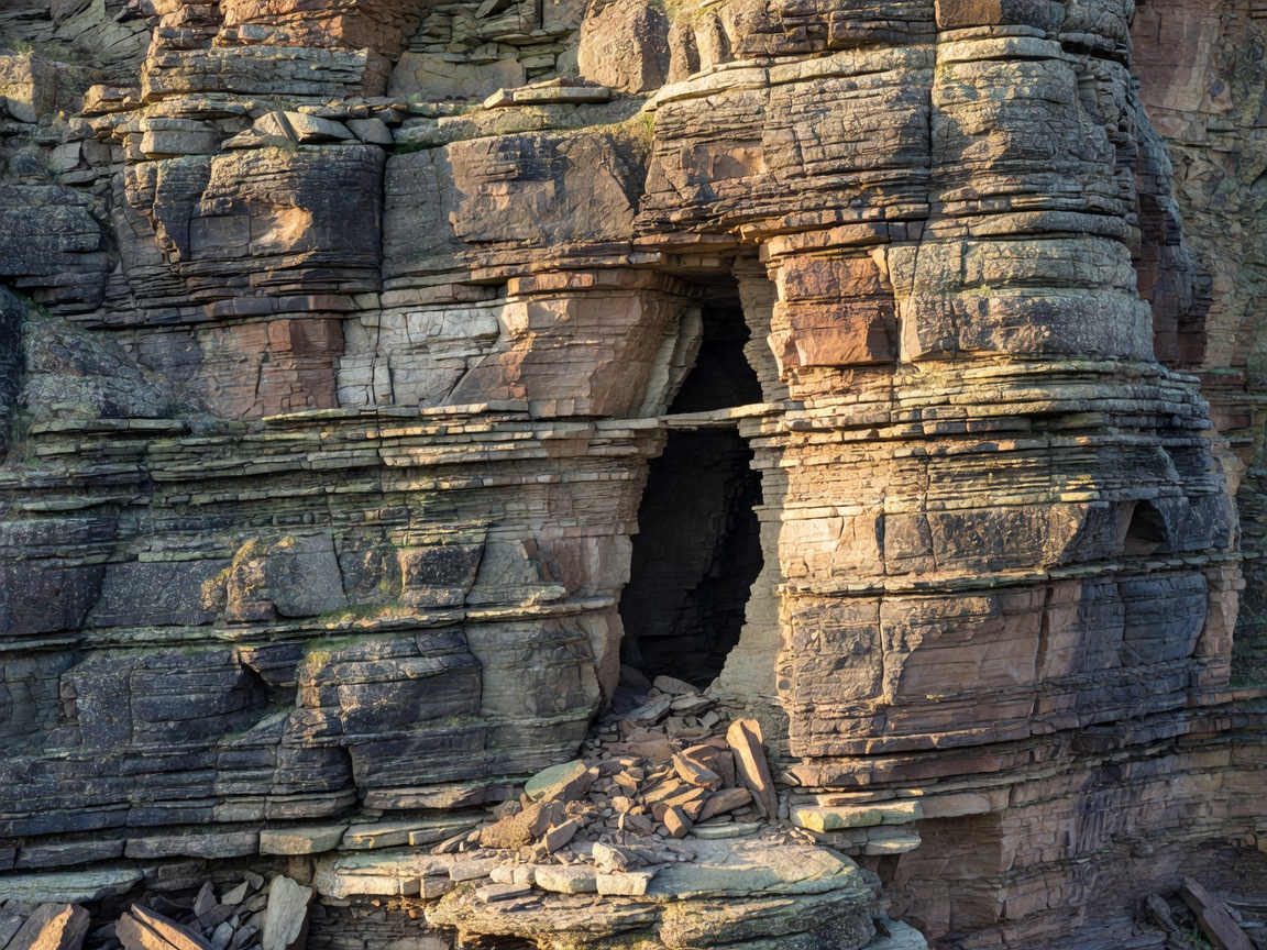
Read the geology first
Limestone landscapes often support caves, quarries, cisterns, and burial spaces because water dissolves and moves through soluble rock. Granite and hard volcanic rock produce different construction decisions: excavation is slower, surfaces may remain rough, and passages often follow practical faults or existing cuts.
Geology is not a complete explanation. Builders adapt available material. A city may use local stone for masonry while cutting a separate tunnel through harder ground. Water tables, slope, and flood risk also influence depth and form.
Five regional patterns
Karst and limestone belts
These landscapes can combine natural cavities with quarries, defensive works, and religious use. The visible entrance may represent only one part of a larger hydrological system. Conservation is especially sensitive to water movement and surface damage.
Mining districts
Mining spaces record extraction methods, labour systems, ventilation needs, drainage, and later reuse. Shafts and galleries may be privately owned, unstable, or closed even when nearby heritage routes are open.
Historic city layers
Urban undergrounds include cellars, sewers, passages, storage rooms, and foundations. They often reflect repeated rebuilding rather than one planned system. Archaeological interpretation should distinguish original fabric from later utility work.
Religious landscapes
Crypts, rock-cut chapels, ossuaries, and pilgrimage routes connect underground space to ritual and memory. Lighting and visitor movement can affect fragile surfaces, inscriptions, and burial contexts.
Frontier and defensive zones
Fortifications use terrain for concealment, storage, movement, and observation. Regional comparison should include the political geography that made a site necessary, not only its concrete or masonry form.
Regional comparison
Good for
- Building a research shortlist by landscape.
- Comparing mining, religious, urban, and defensive heritage.
- Understanding why two nearby sites have different forms.
What to know
“Underground” is a broad category, not an access promise. Regional maps can include protected, private, unstable, or sealed spaces. Follow official routes and never enter a closed structure.